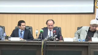
A day workshop on the development of GIS based tool for planning and monitoring was held in University of Peshawar. The workshop was conducted under the auspices of Fata Secretariat and UoP Department of Urban and Regional Planning in compliance with an MoU signed by the two institutes in the recent past.
The purpose of the workshop was to train the participants about establishing a spatially enabled data capturing development, analysing and visualising systems for planners and decision makers.
Secretary P&D Fata Dr Shahzad Khan Bangash was the chief guest of the moot. Dean Faculty of Life and Environmental Sciences Professor Dr Amir Nawaz Khan, Director Institute of Geogfraphy, Urban and Planning Professor Dr Fazl ur Rehman was also present on the occasion.
Addressing the workshop the resource person Dr Zulfiqar said that the objective of the trainings was to introduce various dimensions of the project launched under the MoU and various tasks ahead for the stakeholders. He added that the training would acquaint the participants with the GIS concept, remote sensing and geo spatial data. Besides the participants would be imparted training about understanding the prospects and challenges of adopting GIS based planning and monitoring in their respective directorates.
Dr Zulfiqar who is also the principal investigator of the project titled: development of GIS based tools said that the establishment of a proper Geographical Information System will enable the stakeholders to do tracking and monitoring of the ongoing projects in Fata.
The chief guest in his remarks commended the technical facility available with the University of Peshawar for development of GIS system. He added that such trainings would build capacity of their staff and the line departments of the FATA secretariat to do effective need based analysis of various areas of Fata.
BR100
11,987
Increased By
93.1 (0.78%)
BR30
37,178
Increased By
323.2 (0.88%)
KSE100
111,351
Increased By
927.9 (0.84%)
KSE30
35,039
Increased By
261 (0.75%)


Comments
Comments are closed.